 vesseltracker.com
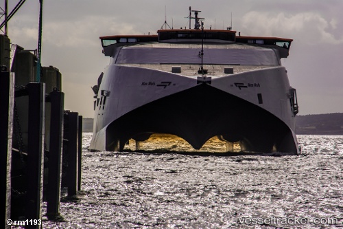
 EUROCHAMPION JET
Current Status
Where is the vessel?
EUROCHAMPION JET is currently in Near Iraklion, based on AIS data received about 1h ago.
Latest AIS update:
Current position: 35.34264° N, 25.14089° E (Near Iraklion)
Average speed (last 7 days): Loading…
Average speed (last 30 days): Loading…
Vessel profile: EUROCHAMPION JET is a High speed craft with dimensions m x m.
This page combines live AIS, route history, probable destination signals, nearby traffic, and port activity for practical vessel monitoring.
The current position of vessel EUROCHAMPION JET is 35.34264 lat / 25.14089 lng. Updated: 2026-04-29 01:35:05 UTCNearest reference points:
- Near Iraklion
- Near Kali Limenes
- 67 nm S of Kali Limenes
Currently sailing under the flag of Cyprus ![]()
Details:
Live Vessel EUROCHAMPION JET Analytics (details, animations, etc.)
Recent AIS points (UTC):
2026-04-28 22:46:24 UTC · 35.34258, 25.14097 · SOG 0 kn · COG 333°2026-04-28 23:30:14 UTC · 35.34260, 25.14094 · SOG 0 kn · COG 333°
2026-04-29 01:24:04 UTC · 35.34260, 25.14096 · SOG 0 kn · COG 333°
2026-04-29 01:35:05 UTC · 35.34264, 25.14089 · SOG 0 kn · COG 333°