 vesseltracker.com
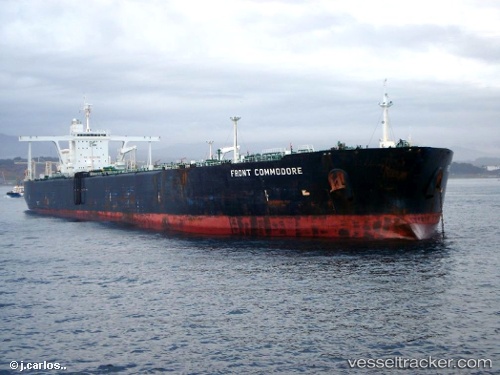
 KIN A
KIN A
Current Status
Where is the vessel?
KIN A is currently in 31 nm S of Sharm ash Shaykh, based on AIS data received less than 1h ago.
Latest AIS update:
Current position: 27.36732° N, 34.44933° E (31 nm S of Sharm ash Shaykh)
Average speed (last 7 days): Loading…
Average speed (last 30 days): Loading…
Vessel profile: KIN A is a Crude Oil Tanker with dimensions m x m.
This page combines live AIS, route history, probable destination signals, nearby traffic, and port activity for practical vessel monitoring.
The current position of vessel KIN A is 27.36732 lat / 34.44933 lng. Updated: 2026-05-15 07:04:15 UTCNearest reference points:
- 19 nm SE of Zeit Bay
- 15 nm SW of Al Khuraibah
- Near El-Guna (El Gouna)
Currently sailing under the flag of Comoros ![]()
Details:
Live Vessel KIN A Analytics (details, animations, etc.)
Recent AIS points (UTC):
2026-05-15 03:54:08 UTC · 27.48833, 34.09333 · SOG 11 kn · COG -1°2026-05-15 04:15:06 UTC · 27.46167, 34.16833 · SOG 12 kn · COG -1°
2026-05-15 05:35:11 UTC · 27.38840, 34.39804 · SOG 2.8 kn · COG 50°
2026-05-15 07:04:15 UTC · 27.36732, 34.44933 · SOG 9.9 kn · COG 173°