 vesseltracker.com
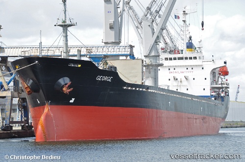
 SEAWAY K
Current Status
Where is the vessel?
SEAWAY K is currently in Near BENGHAZI, based on AIS data received less than 1h ago.
Latest AIS update:
Current position: 32.12294° N, 19.98376° E (Near BENGHAZI)
Average speed (last 7 days): Loading…
Average speed (last 30 days): Loading…
Vessel profile: SEAWAY K is a General Cargo Ship with dimensions 129m x 21m.
This page combines live AIS, route history, probable destination signals, nearby traffic, and port activity for practical vessel monitoring.
The current position of vessel SEAWAY K is 32.12294 lat / 19.98376 lng. Updated: 2026-04-20 09:46:54 UTCNearest reference points:
- Near BENGHAZI
- Near Banghazi
- 61 nm N of Al Marj
Currently sailing under the flag of Barbados ![]()
SEAWAY K built in 1999 year
Deadweight:
13347 tDetails:
Live Vessel SEAWAY K Analytics (details, animations, etc.)
Recent AIS points (UTC):
2026-04-20 06:01:56 UTC · 32.12290, 19.98378 · SOG 0.2 kn · COG 318°2026-04-20 07:16:55 UTC · 32.12289, 19.98377 · SOG 0.1 kn · COG 316°
2026-04-20 07:31:54 UTC · 32.12293, 19.98378 · SOG 0.1 kn · COG 312°
2026-04-20 09:46:54 UTC · 32.12294, 19.98376 · SOG 0.1 kn · COG 315°