 vesseltracker.com
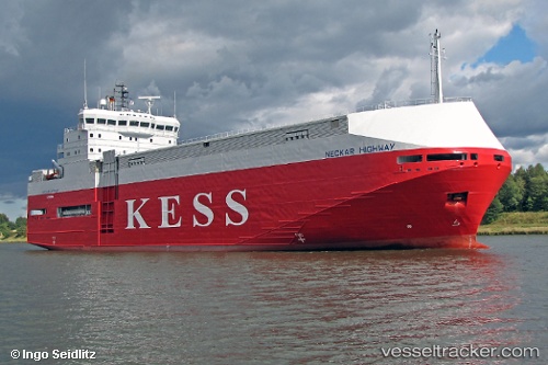
 UGR ISTANBUL
Current Status
Where is the vessel?
UGR ISTANBUL is currently in 64 nm SE of Balhaf, based on AIS data received less than 1h ago.
Latest AIS update:
Current position: 13.00158° N, 48.65835° E (64 nm SE of Balhaf)
Average speed (last 7 days): Loading…
Average speed (last 30 days): Loading…
Vessel profile: UGR ISTANBUL is a Vehicles Carrier with dimensions m x m.
This page combines live AIS, route history, probable destination signals, nearby traffic, and port activity for practical vessel monitoring.
The current position of vessel UGR ISTANBUL is 13.00158 lat / 48.65835 lng. Updated: 2026-05-14 02:54:50 UTCCurrently sailing under the flag of Panama ![]()
Details:
Live Vessel UGR ISTANBUL Analytics (details, animations, etc.)
Recent AIS points (UTC):
2026-05-13 22:40:06 UTC · 12.71618, 47.78673 · SOG 12.6 kn · COG 67°2026-05-13 23:37:35 UTC · 12.77845, 47.98292 · SOG 12.6 kn · COG 67°
2026-05-14 01:33:11 UTC · 12.90357, 48.37920 · SOG 12.8 kn · COG 69°
2026-05-14 02:54:50 UTC · 13.00158, 48.65835 · SOG 12.6 kn · COG 70°