 vesseltracker.com
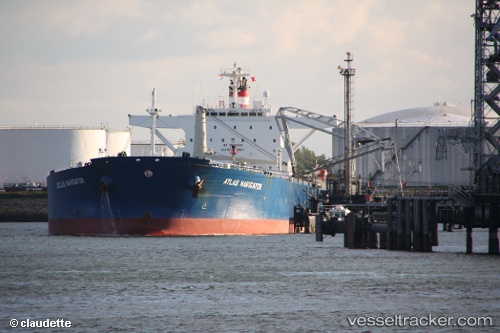
Naviga I
Current StatusWhere is the vessel?
Naviga I is currently in 62 nm S of Scott Base, based on AIS data received about 130d ago.
Latest AIS update:
Current position: 78.80334° S, 164.70358° E (62 nm S of Scott Base)
Average speed (last 7 days): Loading…
Average speed (last 30 days): Loading…
Vessel profile: Naviga I is a Crude Oil Tanker with dimensions 42m x 246m.
This page combines live AIS, route history, probable destination signals, nearby traffic, and port activity for practical vessel monitoring.
The current position of vessel Naviga I is -78.80334 lat / 164.70358 lng. Updated: 2025-12-18 13:33:56 UTCDetails:
Live Vessel Naviga I Analytics (details, animations, etc.)
Recent AIS points (UTC):
2025-12-18 13:33:56 UTC · -78.80334, 164.70358 · SOG 28.2 kn · COG 245°