 vesseltracker.com
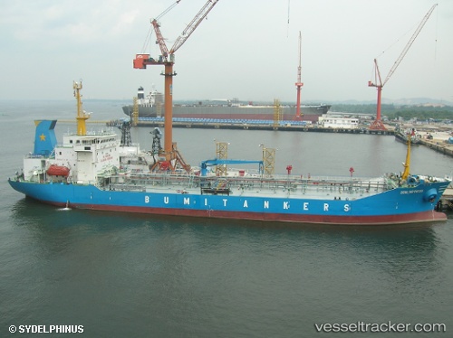
Mt.bumi Indonesia
Current StatusWhere is the vessel?
Mt.bumi Indonesia is currently in 12 nm SE of Balikpapan, based on AIS data received about 17h ago.
Latest AIS update:
Current position: 1.36689° S, 116.97342° E (12 nm SE of Balikpapan)
Average speed (last 7 days): Loading…
Average speed (last 30 days): Loading…
Vessel profile: Mt.bumi Indonesia is a Oil Products Tanker with dimensions 20m x 108m.
This page combines live AIS, route history, probable destination signals, nearby traffic, and port activity for practical vessel monitoring.
The current position of vessel Mt.bumi Indonesia is -1.36689 lat / 116.97342 lng. Updated: 2026-05-02 01:53:59 UTCNearest reference points:
- 11 nm SE of Balikpapan
- Near Balikpapan
- Near KARIANGAU
Details:
Live Vessel Mt.bumi Indonesia Analytics (details, animations, etc.)
Recent AIS points (UTC):
2026-05-02 01:53:59 UTC · -1.36689, 116.97342 · SOG 0.1 kn · COG 273°2026-05-02 01:53:59 UTC · -1.36689, 116.97342 · SOG 0.1 kn · COG 273°
2026-05-02 01:53:59 UTC · -1.36689, 116.97342 · SOG 0.1 kn · COG 273°
2026-05-02 01:53:59 UTC · -1.36689, 116.97342 · SOG 0.1 kn · COG 273°