 vesseltracker.com
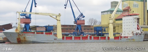
Liloa Ii
Current StatusWhere is the vessel?
Liloa Ii is currently in 183 nm S of Minamidaito, based on AIS data received about 1h ago.
Latest AIS update:
Current position: 22.85500° N, 131.90833° E (183 nm S of Minamidaito)
Average speed (last 7 days): Loading…
Average speed (last 30 days): Loading…
Vessel profile: Liloa Ii is a Multi Purpose Carrier with dimensions 18m x 118m.
This page combines live AIS, route history, probable destination signals, nearby traffic, and port activity for practical vessel monitoring.
The current position of vessel Liloa Ii is 22.85500 lat / 131.90833 lng. Updated: 2026-05-15 19:50:40 UTCDetails:
Live Vessel Liloa Ii Analytics (details, animations, etc.)
Recent AIS points (UTC):
2026-05-15 16:47:35 UTC · 22.37833, 132.27499 · SOG 11 kn · COG -1°2026-05-15 17:59:38 UTC · 22.56667, 132.13333 · SOG 11 kn · COG -1°
2026-05-15 19:08:35 UTC · 22.74500, 131.99167 · SOG 11 kn · COG -1°
2026-05-15 19:50:40 UTC · 22.85500, 131.90833 · SOG 11 kn · COG -1°