 vesseltracker.com
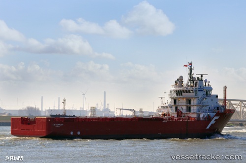
Sea Meadow 22
Current StatusWhere is the vessel?
Sea Meadow 22 is currently in 17 nm NW of Rang Dong, based on AIS data received about 4h ago.
Latest AIS update:
Current position: 10.21178° N, 108.14051° E (17 nm NW of Rang Dong)
Average speed (last 7 days): Loading…
Average speed (last 30 days): Loading…
Vessel profile: Sea Meadow 22 is a Offshore Tug Supply Ship with dimensions 19m x 83m.
This page combines live AIS, route history, probable destination signals, nearby traffic, and port activity for practical vessel monitoring.
The current position of vessel Sea Meadow 22 is 10.21178 lat / 108.14051 lng. Updated: 2026-04-28 17:26:21 UTCNearest reference points:
- Near Rang Dong
- 30 nm NW of Bach Ho
- 15 nm SE of Bà Ria
Details:
Live Vessel Sea Meadow 22 Analytics (details, animations, etc.)
Recent AIS points (UTC):
2026-04-28 15:05:38 UTC · 10.19577, 108.15918 · SOG 3.4 kn · COG 70°2026-04-28 16:21:42 UTC · 10.20610, 108.14732 · SOG 0.6 kn · COG 356°
2026-04-28 17:26:21 UTC · 10.21178, 108.14051 · SOG 0.4 kn · COG 347°
2026-04-28 17:26:21 UTC · 10.21178, 108.14051 · SOG 0.4 kn · COG 347°