 vesseltracker.com
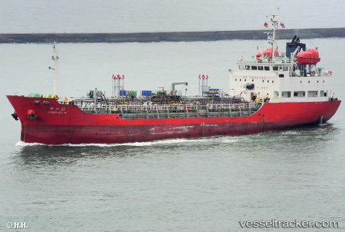
 BLUE UNITY
Current Status
Where is the vessel?
BLUE UNITY is currently in Near Kampung Tanjung Langsat, based on AIS data received about 9h ago.
Latest AIS update:
Current position: 1.45822° N, 104.01208° E (Near Kampung Tanjung Langsat)
Average speed (last 7 days): Loading…
Average speed (last 30 days): Loading…
Vessel profile: BLUE UNITY is a Tanker with dimensions m x m.
This page combines live AIS, route history, probable destination signals, nearby traffic, and port activity for practical vessel monitoring.
The current position of vessel BLUE UNITY is 1.45822 lat / 104.01208 lng. Updated: 2026-05-14 02:51:32 UTCNearest reference points:
- Near CHANGI
- Near Johor
- Near PASIR GUDANG
Currently sailing under the flag of Mongolia ![]()
Details:
Live Vessel BLUE UNITY Analytics (details, animations, etc.)
Recent AIS points (UTC):
2026-05-14 02:51:32 UTC · 1.45822, 104.01208 · SOG 0 kn · COG 21°2026-05-14 02:51:32 UTC · 1.45822, 104.01208 · SOG 0 kn · COG 21°
2026-05-14 02:51:32 UTC · 1.45822, 104.01208 · SOG 0 kn · COG 21°
2026-05-14 02:51:32 UTC · 1.45822, 104.01208 · SOG 0 kn · COG 21°