 vesseltracker.com
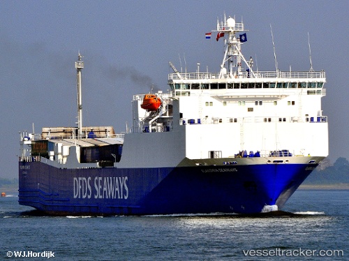
San Jorge
Current StatusWhere is the vessel?
San Jorge is currently in Near Pichilingue, based on AIS data received less than 1h ago.
Latest AIS update:
Current position: 24.27548° N, 110.33038° W (Near Pichilingue)
Average speed (last 7 days): Loading…
Average speed (last 30 days): Loading…
Vessel profile: San Jorge is a Ro Ro Cargo Ship with dimensions 23m x 142m.
This page combines live AIS, route history, probable destination signals, nearby traffic, and port activity for practical vessel monitoring.
The current position of vessel San Jorge is 24.27548 lat / -110.33038 lng. Updated: 2026-04-23 13:15:51 UTCNearest reference points:
- Near LA PAZ
- Near LA PLAYA
- Near San Jose del Cabo
Details:
Live Vessel San Jorge Analytics (details, animations, etc.)
Recent AIS points (UTC):
2026-04-23 10:06:50 UTC · 24.27549, -110.33037 · SOG 0 kn · COG 88°2026-04-23 10:21:45 UTC · 24.27553, -110.33034 · SOG 0 kn · COG 88°
2026-04-23 12:06:49 UTC · 24.27550, -110.33038 · SOG 0 kn · COG 88°
2026-04-23 13:15:51 UTC · 24.27548, -110.33038 · SOG 0 kn · COG 88°