 vesseltracker.com
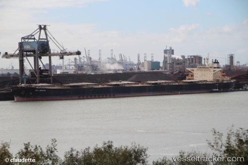
Nps Century
Current StatusWhere is the vessel?
Nps Century is currently in Near Conakry Eco, based on AIS data received about 1h ago.
Latest AIS update:
Current position: 9.41481° N, 13.72821° W (Near Conakry Eco)
Average speed (last 7 days): Loading…
Average speed (last 30 days): Loading…
Vessel profile: Nps Century is a Bulk Carrier with dimensions 45m x 289m.
This page combines live AIS, route history, probable destination signals, nearby traffic, and port activity for practical vessel monitoring.
The current position of vessel Nps Century is 9.41481 lat / -13.72821 lng. Updated: 2026-05-14 07:20:10 UTCNearest reference points:
- Near Conakry
- 28 nm S of Conakry
- 49 nm S of Port de Boké
Details:
Live Vessel Nps Century Analytics (details, animations, etc.)
Recent AIS points (UTC):
2026-05-14 04:11:13 UTC · 9.41685, -13.72846 · SOG 0.1 kn · COG 231°2026-05-14 06:17:10 UTC · 9.41647, -13.72823 · SOG 0 kn · COG 247°
2026-05-14 07:02:10 UTC · 9.41582, -13.72806 · SOG 0.2 kn · COG 270°
2026-05-14 07:20:10 UTC · 9.41481, -13.72821 · SOG 0.2 kn · COG 306°