 vesseltracker.com
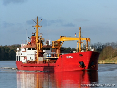
 MARY
MARY
Current Status
Where is the vessel?
MARY is currently in Near Icdas Jetty, based on AIS data received less than 1h ago.
Latest AIS update:
Current position: 40.60885° N, 27.31797° E (Near Icdas Jetty)
Average speed (last 7 days): Loading…
Average speed (last 30 days): Loading…
Vessel profile: MARY is a General Cargo with dimensions m x m.
This page combines live AIS, route history, probable destination signals, nearby traffic, and port activity for practical vessel monitoring.
The current position of vessel MARY is 40.60885 lat / 27.31797 lng. Updated: 2026-05-14 18:01:54 UTCNearest reference points:
- Near Sarköy
- Near Marmara Adasi
- Near Saraylar
Currently sailing under the flag of Palau ![]()
Details:
Live Vessel MARY Analytics (details, animations, etc.)
Recent AIS points (UTC):
2026-05-14 13:53:03 UTC · 40.34830, 26.65652 · SOG 7.9 kn · COG 38°2026-05-14 16:04:23 UTC · 40.49959, 26.97886 · SOG 8.5 kn · COG 71°
2026-05-14 16:07:36 UTC · 40.50201, 26.98833 · SOG 8.4 kn · COG 70°
2026-05-14 18:01:54 UTC · 40.60885, 27.31797 · SOG 8.4 kn · COG 68°