 vesseltracker.com
 MAXINE
Current Status
Where is the vessel?
MAXINE is currently in 23 nm SE of Covent Garden, based on AIS data received less than 1h ago.
Latest AIS update:
Current position: 51.23141° N, 7.55178° W (23 nm SE of Covent Garden)
Average speed (last 7 days): Loading…
Average speed (last 30 days): Loading…
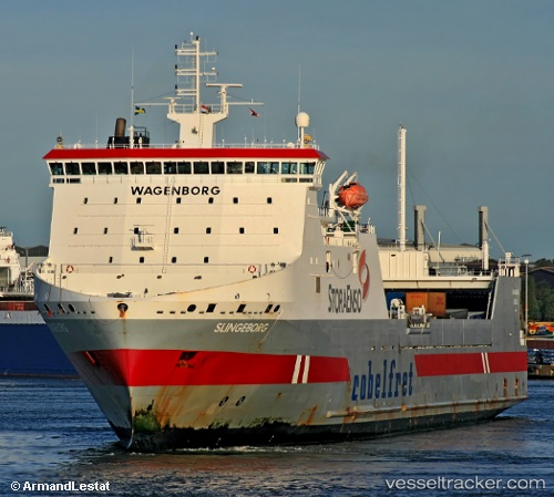
Vessel profile: MAXINE is a Ro-Ro Cargo Ship with dimensions 185m x 26m.
This page combines live AIS, route history, probable destination signals, nearby traffic, and port activity for practical vessel monitoring.
The current position of vessel MAXINE is 51.23141 lat / -7.55178 lng. Updated: 2026-05-14 18:10:36 UTCNearest reference points:
- 45 nm SE of Covent Garden
- Near Covent Garden
- Near Cobn
Currently sailing under the flag of Isle of Man ![]()
MAXINE built in 2000 year
Deadweight:
12502 tDetails:
Live Vessel MAXINE Analytics (details, animations, etc.)
Recent AIS points (UTC):
2026-05-14 14:05:30 UTC · 51.83252, -8.32471 · SOG 0 kn · COG 316°2026-05-14 15:40:39 UTC · 51.80985, -8.26792 · SOG 13.5 kn · COG 147°
2026-05-14 16:32:25 UTC · 51.60110, -8.06497 · SOG 18.2 kn · COG 144°
2026-05-14 18:10:36 UTC · 51.23141, -7.55178 · SOG 17.8 kn · COG 139°