 vesseltracker.com
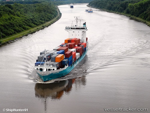
 Hanni
Hanni
Current Status
Where is the vessel?
Hanni is currently in Near Ruan Minor, based on AIS data received less than 1h ago.
Latest AIS update:
Current position: 49.89451° N, 5.26145° W (Near Ruan Minor)
Average speed (last 7 days): Loading…
Average speed (last 30 days): Loading…
Vessel profile: Hanni is a Container Ship with dimensions 118m x 18m.
This page combines live AIS, route history, probable destination signals, nearby traffic, and port activity for practical vessel monitoring.
The current position of vessel Hanni is 49.89451 lat / -5.26145 lng. Updated: 2026-05-01 05:34:34 UTCNearest reference points:
- Near Cadgwith
- Near Flushing
- Near Falmouth
Currently sailing under the flag of Germany ![]()
Hanni built in 1998 year
Deadweight:
6867 tDetails:
Live Vessel Hanni Analytics (details, animations, etc.)
Recent AIS points (UTC):
2026-05-01 02:11:56 UTC · 50.32027, -5.98628 · SOG 14.2 kn · COG 182°2026-05-01 04:13:23 UTC · 49.92542, -5.83325 · SOG 15.9 kn · COG 96°
2026-05-01 04:57:35 UTC · 49.90705, -5.52491 · SOG 16.4 kn · COG 88°
2026-05-01 05:34:34 UTC · 49.89451, -5.26145 · SOG 17 kn · COG 90°