 vesseltracker.com
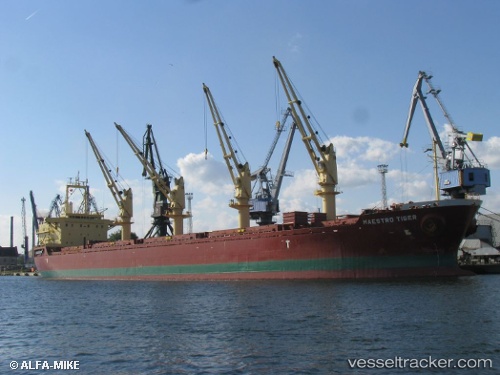
Alanda Star
Current StatusWhere is the vessel?
Alanda Star is currently in Near ZEYTINBURNU, based on AIS data received about 1h ago.
Latest AIS update:
Current position: 40.90853° N, 28.94264° E (Near ZEYTINBURNU)
Average speed (last 7 days): Loading…
Average speed (last 30 days): Loading…
Vessel profile: Alanda Star is a Bulk Carrier with dimensions 27m x 172m.
This page combines live AIS, route history, probable destination signals, nearby traffic, and port activity for practical vessel monitoring.
The current position of vessel Alanda Star is 40.90853 lat / 28.94264 lng. Updated: 2026-04-27 01:24:47 UTCNearest reference points:
- Near ZEYTINBURNU
- Near Davutpasa
- Near BAKIRKOY
Details:
Live Vessel Alanda Star Analytics (details, animations, etc.)
Recent AIS points (UTC):
2026-04-26 23:06:28 UTC · 40.77721, 28.88222 · SOG 0.9 kn · COG 240°2026-04-26 23:43:49 UTC · 40.76915, 28.88562 · SOG 0.9 kn · COG 278°
2026-04-27 01:13:47 UTC · 40.89388, 28.92179 · SOG 6.9 kn · COG 47°
2026-04-27 01:24:47 UTC · 40.90853, 28.94264 · SOG 7 kn · COG 44°