 vesseltracker.com
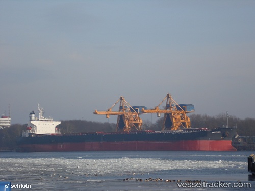
 PERLITA
Current Status
Where is the vessel?
PERLITA is currently in 16 nm W of Tilos, based on AIS data received about 1h ago.
Latest AIS update:
Current position: 36.31678° N, 27.05980° E (16 nm W of Tilos)
Average speed (last 7 days): Loading…
Average speed (last 30 days): Loading…
Vessel profile: PERLITA is a Bulk Carrier with dimensions 225m x 32m.
This page combines live AIS, route history, probable destination signals, nearby traffic, and port activity for practical vessel monitoring.
The current position of vessel PERLITA is 36.31678 lat / 27.05980 lng. Updated: 2026-04-27 07:45:17 UTCNearest reference points:
- 12 nm E of GYALI
- 11 nm E of GYALI
- 13 nm E of Nisiros
Currently sailing under the flag of Belize ![]()
PERLITA built in 1999 year
Deadweight:
75574 tDetails:
Live Vessel PERLITA Analytics (details, animations, etc.)
Recent AIS points (UTC):
2026-04-27 04:12:17 UTC · 35.83333, 27.62687 · SOG 10.5 kn · COG 311°2026-04-27 05:53:26 UTC · 36.05621, 27.36403 · SOG 11.3 kn · COG 314°
2026-04-27 07:38:07 UTC · 36.30061, 27.08034 · SOG 11.7 kn · COG 314°
2026-04-27 07:45:17 UTC · 36.31678, 27.05980 · SOG 11.6 kn · COG 316°