 vesseltracker.com
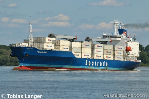
 SALERNO
Current Status
Where is the vessel?
SALERNO is currently in Near SKAGEN, based on AIS data received about 1h ago.
Latest AIS update:
Current position: 57.66001° N, 10.70621° E (Near SKAGEN)
Average speed (last 7 days): Loading…
Average speed (last 30 days): Loading…
Vessel profile: SALERNO is a Reefer with dimensions m x m.
This page combines live AIS, route history, probable destination signals, nearby traffic, and port activity for practical vessel monitoring.
The current position of vessel SALERNO is 57.66001 lat / 10.70621 lng. Updated: 2026-05-15 19:54:48 UTCNearest reference points:
- Near SKAGEN
- Near Frederikshavn
- 19 nm E of Sæby
Details:
Live Vessel SALERNO Analytics (details, animations, etc.)
Recent AIS points (UTC):
2026-05-15 16:39:07 UTC · 57.66004, 10.70640 · SOG 0 kn · COG 176°2026-05-15 17:53:06 UTC · 57.65995, 10.70629 · SOG 0 kn · COG 173°
2026-05-15 19:08:57 UTC · 57.66004, 10.70647 · SOG 0 kn · COG 174°
2026-05-15 19:54:48 UTC · 57.66001, 10.70621 · SOG 0 kn · COG 172°