 vesseltracker.com
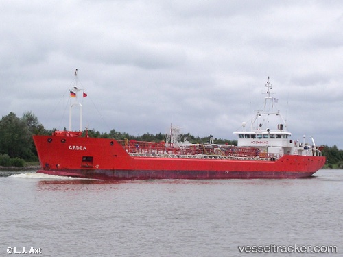
 TALISKER
Current Status
Where is the vessel?
TALISKER is currently in 34 nm W of NASSIT, based on AIS data received about 3h ago.
Latest AIS update:
Current position: 8.48136° N, 13.81051° W (34 nm W of NASSIT)
Average speed (last 7 days): Loading…
Average speed (last 30 days): Loading…
Vessel profile: TALISKER is a Oil Products Tanker with dimensions 90m x 12m.
This page combines live AIS, route history, probable destination signals, nearby traffic, and port activity for practical vessel monitoring.
The current position of vessel TALISKER is 8.48136 lat / -13.81051 lng. Updated: 2026-05-14 17:12:43 UTCNearest reference points:
- Near NASSIT
- 28 nm S of Conakry
- Near Kissy
Currently sailing under the flag of Panama ![]()
TALISKER built in 2000 year
Deadweight:
2819 tDetails:
Live Vessel TALISKER Analytics (details, animations, etc.)
Recent AIS points (UTC):
2026-05-14 13:27:19 UTC · 8.48123, -13.81055 · SOG 0 kn · COG 292°2026-05-14 17:12:43 UTC · 8.48136, -13.81051 · SOG 0 kn · COG 280°
2026-05-14 17:12:43 UTC · 8.48136, -13.81051 · SOG 0 kn · COG 280°
2026-05-14 17:12:43 UTC · 8.48136, -13.81051 · SOG 0 kn · COG 280°