 vesseltracker.com
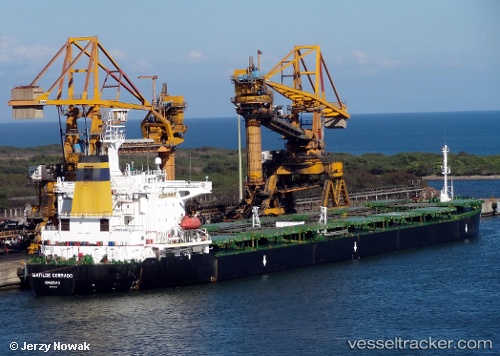
 SM DONGHAE 2
Current Status
Where is the vessel?
SM DONGHAE 2 is currently in 61 nm N of Exspan, based on AIS data received less than 1h ago.
Latest AIS update:
Current position: 0.85833° S, 105.51667° E (61 nm N of Exspan)
Average speed (last 7 days): Loading…
Average speed (last 30 days): Loading…
Vessel profile: SM DONGHAE 2 is a Bulk Carrier with dimensions 224m x 32m.
This page combines live AIS, route history, probable destination signals, nearby traffic, and port activity for practical vessel monitoring.
The current position of vessel SM DONGHAE 2 is -0.85833 lat / 105.51667 lng. Updated: 2026-05-15 19:25:34 UTCNearest reference points:
- 69 nm NE of Exspan
- 16 nm E of Tanjung Uban
- Near PANGKAL BALAM
Currently sailing under the flag of Korea (Republic of) ![]()
SM DONGHAE 2 built in 2002 year
Deadweight:
72867 tDetails:
Live Vessel SM DONGHAE 2 Analytics (details, animations, etc.)
Recent AIS points (UTC):
2026-05-15 16:43:34 UTC · -0.33167, 105.73333 · SOG 12 kn · COG -1°2026-05-15 17:37:34 UTC · -0.50667, 105.65833 · SOG 12 kn · COG -1°
2026-05-15 19:04:34 UTC · -0.78833, 105.54167 · SOG 12 kn · COG -1°
2026-05-15 19:25:34 UTC · -0.85833, 105.51667 · SOG 12 kn · COG -1°