 vesseltracker.com
 ANGEL 22
Current Status
Where is the vessel?
ANGEL 22 is currently in Near Tarawa Atoll, based on AIS data received about 1h ago.
Latest AIS update:
Current position: 1.37432° N, 172.93643° E (Near Tarawa Atoll)
Average speed (last 7 days): Loading…
Average speed (last 30 days): Loading…
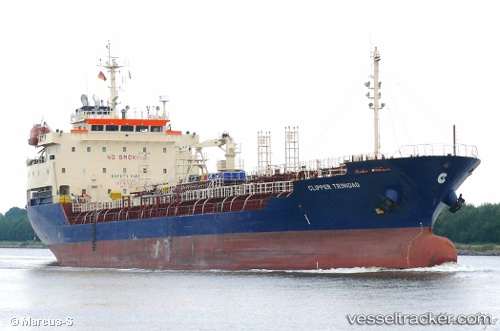
Vessel profile: ANGEL 22 is a Oil/Chemical Tanker with dimensions m x m.
This page combines live AIS, route history, probable destination signals, nearby traffic, and port activity for practical vessel monitoring.
The current position of vessel ANGEL 22 is 1.37432 lat / 172.93643 lng. Updated: 2026-05-14 23:27:31 UTCNearest reference points:
- Near Tarawa Atoll
Currently sailing under the flag of Vanuatu ![]()
Details:
Live Vessel ANGEL 22 Analytics (details, animations, etc.)
Recent AIS points (UTC):
2026-05-14 20:04:30 UTC · 1.01667, 172.61833 · SOG 12 kn · COG -1°2026-05-14 22:08:34 UTC · 1.35206, 172.83472 · SOG 10.2 kn · COG 46°
2026-05-14 22:09:35 UTC · 1.35367, 172.83688 · SOG 9.7 kn · COG 64°
2026-05-14 23:27:31 UTC · 1.37432, 172.93643 · SOG 3.5 kn · COG 192°