 vesseltracker.com
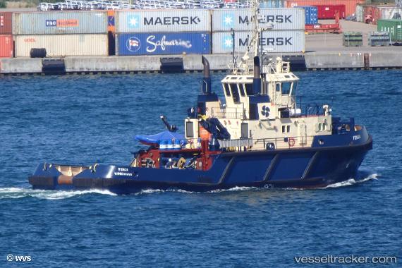
 Fenja
Fenja
Current Status
Where is the vessel?
Fenja is currently in Near SKAGEN, based on AIS data received less than 1h ago.
Latest AIS update:
Current position: 57.72215° N, 10.60034° E (Near SKAGEN)
Average speed (last 7 days): Loading…
Average speed (last 30 days): Loading…
Vessel profile: Fenja is a Tug with dimensions 33m x 11m.
This page combines live AIS, route history, probable destination signals, nearby traffic, and port activity for practical vessel monitoring.
The current position of vessel Fenja is 57.72215 lat / 10.60034 lng. Updated: 2026-05-13 21:53:06 UTCNearest reference points:
- Near SKAGEN
- Near Frederikshavn
- 15 nm N of Hirtshals
Currently sailing under the flag of Denmark ![]()
Fenja built in 1999 year
Deadweight:
229 tDetails:
Live Vessel Fenja Analytics (details, animations, etc.)
Recent AIS points (UTC):
2026-05-13 17:25:59 UTC · 57.70147, 10.72951 · SOG 8.8 kn · COG 279°2026-05-13 19:47:27 UTC · 57.72214, 10.60033 · SOG 0 kn · COG 235°
2026-05-13 19:53:26 UTC · 57.72214, 10.60033 · SOG 0 kn · COG 235°
2026-05-13 21:53:06 UTC · 57.72215, 10.60034 · SOG 0 kn · COG 235°