 vesseltracker.com
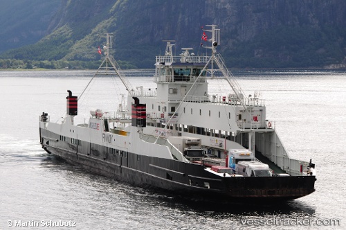
Finnoy
Current StatusWhere is the vessel?
Finnoy is currently in Near Volda, based on AIS data received less than 1h ago.
Latest AIS update:
Current position: 62.13007° N, 6.04803° E (Near Volda)
Average speed (last 7 days): Loading…
Average speed (last 30 days): Loading…
Vessel profile: Finnoy is a Passenger Ro Ro Cargo Ship with dimensions 16m x 108m.
This page combines live AIS, route history, probable destination signals, nearby traffic, and port activity for practical vessel monitoring.
The current position of vessel Finnoy is 62.13007 lat / 6.04803 lng. Updated: 2026-05-02 18:18:14 UTCNearest reference points:
- Near Alesund
- Near Fiskarstrand
- Near Gjøsundet
Details:
Live Vessel Finnoy Analytics (details, animations, etc.)
Recent AIS points (UTC):
2026-05-02 13:35:45 UTC · 62.12062, 6.03318 · SOG 0 kn · COG -1°2026-05-02 16:05:25 UTC · 62.13547, 6.05480 · SOG 10.4 kn · COG -1°
2026-05-02 16:28:45 UTC · 62.13522, 6.05809 · SOG 10.3 kn · COG -1°
2026-05-02 18:18:14 UTC · 62.13007, 6.04803 · SOG 10.9 kn · COG -1°