 vesseltracker.com
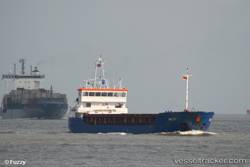
 MARGOT
Current Status
Where is the vessel?
MARGOT is currently in Near Casablanca, based on AIS data received about 1h ago.
Latest AIS update:
Current position: 33.62221° N, 7.58372° W (Near Casablanca)
Average speed (last 7 days): Loading…
Average speed (last 30 days): Loading…
Vessel profile: MARGOT is a General Cargo Ship with dimensions 88m x 13m.
This page combines live AIS, route history, probable destination signals, nearby traffic, and port activity for practical vessel monitoring.
The current position of vessel MARGOT is 33.62221 lat / -7.58372 lng. Updated: 2026-05-14 19:51:18 UTCNearest reference points:
- Near Mohammedia
- Near Jorf Lasfar
- 54 nm N of El Jadida
Currently sailing under the flag of Belgium ![]()
MARGOT built in 2004 year
Deadweight:
3701 tDetails:
Live Vessel MARGOT Analytics (details, animations, etc.)
Recent AIS points (UTC):
2026-05-14 16:34:33 UTC · 33.64241, -7.59085 · SOG 0.2 kn · COG 16°2026-05-14 18:07:30 UTC · 33.64249, -7.59090 · SOG 0.2 kn · COG 15°
2026-05-14 19:09:08 UTC · 33.64467, -7.57595 · SOG 1.9 kn · COG 47°
2026-05-14 19:51:18 UTC · 33.62221, -7.58372 · SOG 8 kn · COG 233°