 vesseltracker.com
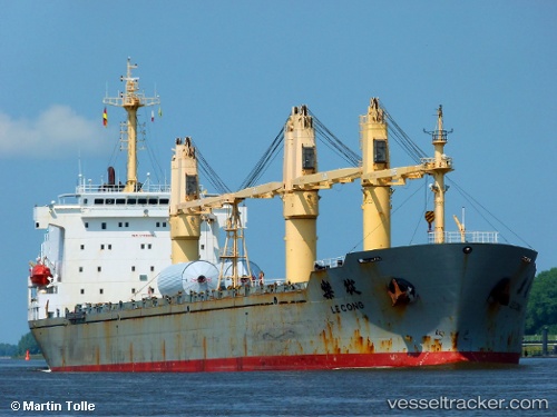
 H CACHALOT
Current Status
Where is the vessel?
H CACHALOT is currently in 87 nm NE of Calbayog, Samar, based on AIS data received less than 1h ago.
Latest AIS update:
Current position: 12.95167° N, 125.77667° E (87 nm NE of Calbayog, Samar)
Average speed (last 7 days): Loading…
Average speed (last 30 days): Loading…
Vessel profile: H CACHALOT is a General Cargo with dimensions m x m.
This page combines live AIS, route history, probable destination signals, nearby traffic, and port activity for practical vessel monitoring.
The current position of vessel H CACHALOT is 12.95167 lat / 125.77667 lng. Updated: 2026-05-14 10:57:57 UTCNearest reference points:
- Near Tacloban
- 40 nm N of Gigmoto, Catanduanes
- 16 nm E of Danao
Currently sailing under the flag of Panama ![]()
Details:
Live Vessel H CACHALOT Analytics (details, animations, etc.)
Recent AIS points (UTC):
2026-05-14 07:30:59 UTC · 12.32333, 125.97333 · SOG 11 kn · COG -1°2026-05-14 07:51:56 UTC · 12.38833, 125.95333 · SOG 11 kn · COG -1°
2026-05-14 10:12:56 UTC · 12.81500, 125.82333 · SOG 11 kn · COG -1°
2026-05-14 10:57:57 UTC · 12.95167, 125.77667 · SOG 11 kn · COG -1°