 vesseltracker.com
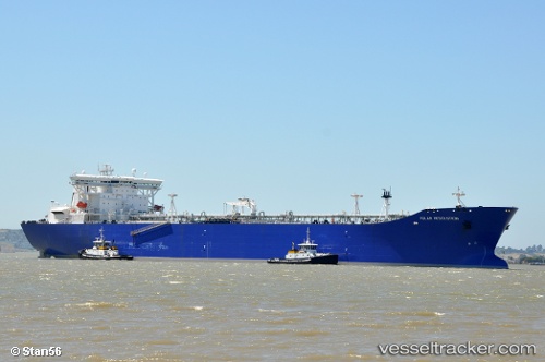
 Polar Resolution
Current Status
Where is the vessel?
Polar Resolution is currently in 12 nm NW of Tatoosh Island, based on AIS data received less than 1h ago.
Latest AIS update:
Current position: 48.50598° N, 124.97642° W (12 nm NW of Tatoosh Island)
Average speed (last 7 days): Loading…
Average speed (last 30 days): Loading…
Vessel profile: Polar Resolution is a Crude Oil Tanker with dimensions 273m x 46m.
This page combines live AIS, route history, probable destination signals, nearby traffic, and port activity for practical vessel monitoring.
The current position of vessel Polar Resolution is 48.50598 lat / -124.97642 lng. Updated: 2026-05-15 18:10:18 UTCNearest reference points:
- 21 nm NW of Tatoosh Island
- Near Clallam Bay
- Near Nanaimo
Currently sailing under the flag of USA ![]()
Polar Resolution built in 2002 year
Deadweight:
141740 tDetails:
Live Vessel Polar Resolution Analytics (details, animations, etc.)
Recent AIS points (UTC):
2026-05-15 13:58:00 UTC · 48.16742, -123.31135 · SOG 19.1 kn · COG 225°2026-05-15 15:46:02 UTC · 48.30786, -124.00303 · SOG 17.8 kn · COG 292°
2026-05-15 16:43:25 UTC · 48.41778, -124.39718 · SOG 17.9 kn · COG 293°
2026-05-15 18:10:18 UTC · 48.50598, -124.97642 · SOG 15.4 kn · COG 267°