 vesseltracker.com
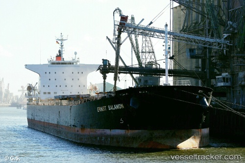
Tai Hang 9
Current StatusWhere is the vessel?
Tai Hang 9 is currently in 15 nm SE of Shidao Pt, based on AIS data received about 1h ago.
Latest AIS update:
Current position: 36.65819° N, 122.61752° E (15 nm SE of Shidao Pt)
Average speed (last 7 days): Loading…
Average speed (last 30 days): Loading…
Vessel profile: Tai Hang 9 is a Bulk Carrier with dimensions 32m x 225m.
This page combines live AIS, route history, probable destination signals, nearby traffic, and port activity for practical vessel monitoring.
The current position of vessel Tai Hang 9 is 36.65819 lat / 122.61752 lng. Updated: 2026-05-16 10:42:26 UTCNearest reference points:
- 14 nm SE of Shidao Pt
- Near Shidao Pt
- 25 nm S of Shidao Pt
Details:
Live Vessel Tai Hang 9 Analytics (details, animations, etc.)
Recent AIS points (UTC):
2026-05-16 07:12:28 UTC · 36.65881, 122.61479 · SOG 0 kn · COG 167°2026-05-16 07:42:27 UTC · 36.65885, 122.61491 · SOG 0 kn · COG 172°
2026-05-16 09:27:29 UTC · 36.65871, 122.61659 · SOG 0 kn · COG 211°
2026-05-16 10:42:26 UTC · 36.65819, 122.61752 · SOG 0 kn · COG 231°