 vesseltracker.com
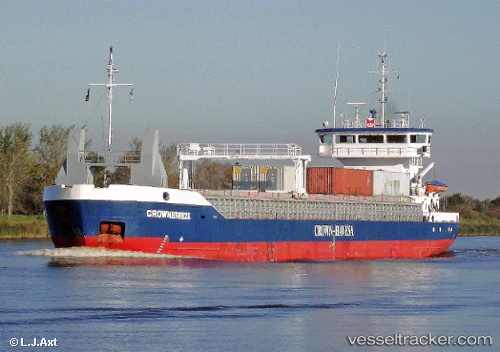
 PRIMA LADY
Current Status
Where is the vessel?
PRIMA LADY is currently in Near Fischerhütte, based on AIS data received about 1h ago.
Latest AIS update:
Current position: 54.16166° N, 9.40558° E (Near Fischerhütte)
Average speed (last 7 days): Loading…
Average speed (last 30 days): Loading…
Vessel profile: PRIMA LADY is a General Cargo Ship with dimensions 89m x 12.5m.
This page combines live AIS, route history, probable destination signals, nearby traffic, and port activity for practical vessel monitoring.
The current position of vessel PRIMA LADY is 54.16166 lat / 9.40558 lng. Updated: 2026-04-23 18:03:33 UTCNearest reference points:
- Near BORGSTEDT
- Near Kiel Canal
- Near Busdorf bei Schleswig
Currently sailing under the flag of Finland ![]()
PRIMA LADY built in 1999 year
Deadweight:
3400 tDetails:
Live Vessel PRIMA LADY Analytics (details, animations, etc.)
Recent AIS points (UTC):
2026-04-23 13:44:13 UTC · 53.88231, 9.09255 · SOG 6.8 kn · COG 74°2026-04-23 16:10:33 UTC · 54.01497, 9.29750 · SOG 6.4 kn · COG 7°
2026-04-23 16:10:53 UTC · 54.01555, 9.29766 · SOG 6.4 kn · COG 7°
2026-04-23 18:03:33 UTC · 54.16166, 9.40558 · SOG 7.1 kn · COG 65°