 vesseltracker.com
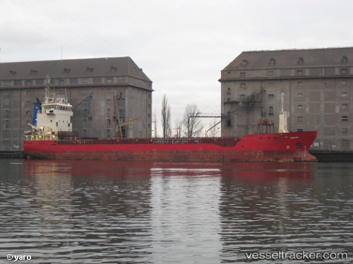
 PRIMA KING
Current Status
Where is the vessel?
PRIMA KING is currently in 16 nm NW of Christiansø Havn, based on AIS data received about 1h ago.
Latest AIS update:
Current position: 55.55401° N, 14.95686° E (16 nm NW of Christiansø Havn)
Average speed (last 7 days): Loading…
Average speed (last 30 days): Loading…
Vessel profile: PRIMA KING is a General Cargo Ship with dimensions 89m x 13m.
This page combines live AIS, route history, probable destination signals, nearby traffic, and port activity for practical vessel monitoring.
The current position of vessel PRIMA KING is 55.55401 lat / 14.95686 lng. Updated: 2026-05-14 08:25:06 UTCNearest reference points:
- Near TEJN
- Near Sölvesborg
- Near RONNEBY
Currently sailing under the flag of Finland ![]()
PRIMA KING built in 2000 year
Deadweight:
4748 tDetails:
Live Vessel PRIMA KING Analytics (details, animations, etc.)
Recent AIS points (UTC):
2026-05-14 04:34:45 UTC · 55.06513, 14.16966 · SOG 11.1 kn · COG 38°2026-05-14 05:45:54 UTC · 55.23527, 14.40351 · SOG 12.2 kn · COG 40°
2026-05-14 07:59:48 UTC · 55.50758, 14.86274 · SOG 10.1 kn · COG 50°
2026-05-14 08:25:06 UTC · 55.55401, 14.95686 · SOG 10 kn · COG 50°