 vesseltracker.com
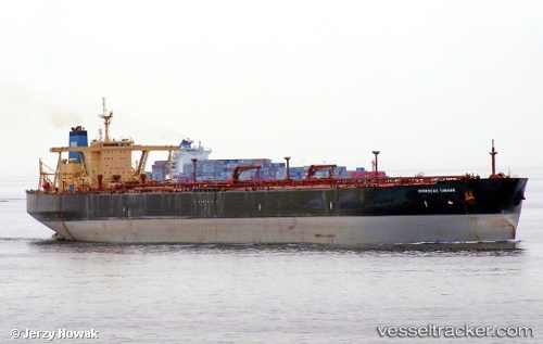
 ONRENSE
Current Status
Where is the vessel?
ONRENSE is currently in 21 nm E of Leuwiliang, based on AIS data received less than 1h ago.
Latest AIS update:
Current position: 6.53667° N, 106.95833° E (21 nm E of Leuwiliang)
Average speed (last 7 days): Loading…
Average speed (last 30 days): Loading…
Vessel profile: ONRENSE is a Crude Oil Tanker with dimensions 60m x 333m.
This page combines live AIS, route history, probable destination signals, nearby traffic, and port activity for practical vessel monitoring.
The current position of vessel ONRENSE is 6.53667 lat / 106.95833 lng. Updated: 2026-05-16 06:01:21 UTCNearest reference points:
- 36 nm SW of Slipi
- 11 nm N of Gombong
- 46 nm E of Kakap Natuna Terminal
Currently sailing under the flag of Panama ![]()
ONRENSE built in 2002 year
Deadweight:
298561 tDetails:
Live Vessel ONRENSE Analytics (details, animations, etc.)
Recent AIS points (UTC):
2026-05-16 02:16:22 UTC · 6.53833, 106.94500 · SOG 0 kn · COG -1°2026-05-16 03:25:24 UTC · 6.54333, 106.95167 · SOG 0 kn · COG -1°
2026-05-16 04:28:27 UTC · 6.53833, 106.95667 · SOG 0 kn · COG -1°
2026-05-16 06:01:21 UTC · 6.53667, 106.95833 · SOG 0 kn · COG -1°