 vesseltracker.com
 ELSIE
ELSIE
Current Status
Where is the vessel?
ELSIE is currently in Near Lae, based on AIS data received less than 1h ago.
Latest AIS update:
Current position: 6.80720° S, 146.96962° E (Near Lae)
Average speed (last 7 days): Loading…
Average speed (last 30 days): Loading…
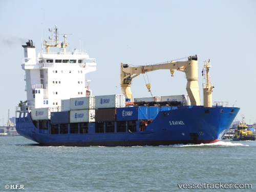
Vessel profile: ELSIE is a Container Ship with dimensions m x m.
This page combines live AIS, route history, probable destination signals, nearby traffic, and port activity for practical vessel monitoring.
The current position of vessel ELSIE is -6.80720 lat / 146.96962 lng. Updated: 2026-05-14 10:22:29 UTCNearest reference points:
- Near Lae
- 42 nm E of Tami Island
Currently sailing under the flag of Papua New Guinea ![]()
ELSIE built in 2000 year
Deadweight:
5539 tDetails:
Live Vessel ELSIE Analytics (details, animations, etc.)
Recent AIS points (UTC):
2026-05-14 07:40:27 UTC · -6.80693, 146.96761 · SOG 0.1 kn · COG 78°2026-05-14 07:43:28 UTC · -6.80691, 146.96765 · SOG 0 kn · COG 74°
2026-05-14 09:37:28 UTC · -6.80740, 146.96954 · SOG 0 kn · COG 347°
2026-05-14 10:22:29 UTC · -6.80720, 146.96962 · SOG 0 kn · COG 337°