 vesseltracker.com
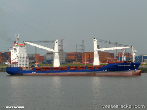
Meratus Project 1
Current StatusWhere is the vessel?
Meratus Project 1 is currently in 15 nm S of Komodo, based on AIS data received less than 1h ago.
Latest AIS update:
Current position: 8.83500° S, 119.51833° E (15 nm S of Komodo)
Average speed (last 7 days): Loading…
Average speed (last 30 days): Loading…
Vessel profile: Meratus Project 1 is a Multi Purpose Carrier with dimensions 18m x 100m.
This page combines live AIS, route history, probable destination signals, nearby traffic, and port activity for practical vessel monitoring.
The current position of vessel Meratus Project 1 is -8.83500 lat / 119.51833 lng. Updated: 2026-05-13 22:01:07 UTCNearest reference points:
- 30 nm N of BIMA
- 40 nm S of Waingapu, Sumba
- 86 nm SE of BENETE
Details:
Live Vessel Meratus Project 1 Analytics (details, animations, etc.)
Recent AIS points (UTC):
2026-05-13 17:12:55 UTC · -8.28667, 119.02667 · SOG 7 kn · COG -1°2026-05-13 19:16:00 UTC · -8.53667, 119.20167 · SOG 11 kn · COG -1°
2026-05-13 20:01:01 UTC · -8.65500, 119.27833 · SOG 10 kn · COG -1°
2026-05-13 22:01:07 UTC · -8.83500, 119.51833 · SOG 8 kn · COG -1°