 vesseltracker.com
 RIX MARINER
Current Status
Where is the vessel?
RIX MARINER is currently in Near Caudrot, based on AIS data received less than 1h ago.
Latest AIS update:
Current position: 44.56333° N, 1.69500° W (Near Caudrot)
Average speed (last 7 days): Loading…
Average speed (last 30 days): Loading…
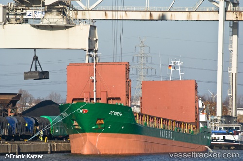
Vessel profile: RIX MARINER is a General Cargo with dimensions m x m.
This page combines live AIS, route history, probable destination signals, nearby traffic, and port activity for practical vessel monitoring.
The current position of vessel RIX MARINER is 44.56333 lat / -1.69500 lng. Updated: 2026-04-26 22:38:45 UTCNearest reference points:
- Near Arcachon
- Near Capbreton
- Near Tarnos
Details:
Live Vessel RIX MARINER Analytics (details, animations, etc.)
Recent AIS points (UTC):
2026-04-26 19:38:41 UTC · 44.98167, -1.70500 · SOG 8 kn · COG -1°2026-04-26 19:41:15 UTC · 44.97653, -1.70560 · SOG 8.3 kn · COG 175°
2026-04-26 21:22:15 UTC · 44.74347, -1.69982 · SOG 7.8 kn · COG 219°
2026-04-26 22:38:45 UTC · 44.56333, -1.69500 · SOG 8 kn · COG -1°