 vesseltracker.com
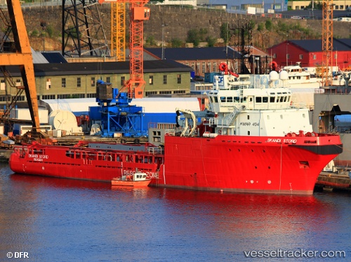
 HAI DUONG 106
Current Status
Where is the vessel?
HAI DUONG 106 is currently in 16 nm NW of Rang Dong, based on AIS data received less than 1h ago.
Latest AIS update:
Current position: 10.19236° N, 108.13972° E (16 nm NW of Rang Dong)
Average speed (last 7 days): Loading…
Average speed (last 30 days): Loading…
Vessel profile: HAI DUONG 106 is a Anchor Handling Vessel with dimensions m x m.
This page combines live AIS, route history, probable destination signals, nearby traffic, and port activity for practical vessel monitoring.
The current position of vessel HAI DUONG 106 is 10.19236 lat / 108.13972 lng. Updated: 2026-05-15 15:53:12 UTCNearest reference points:
- Near Rang Dong
- 30 nm NW of Bach Ho
- 15 nm SE of Bà Ria
Currently sailing under the flag of Panama ![]()
Details:
Live Vessel HAI DUONG 106 Analytics (details, animations, etc.)
Recent AIS points (UTC):
2026-05-15 11:21:04 UTC · 10.21167, 108.15333 · SOG 0 kn · COG -1°2026-05-15 12:09:02 UTC · 10.22166, 108.15833 · SOG 0 kn · COG -1°
2026-05-15 14:03:01 UTC · 10.24167, 108.15833 · SOG 1 kn · COG -1°
2026-05-15 15:53:12 UTC · 10.19236, 108.13972 · SOG 0.3 kn · COG 101°