 vesseltracker.com
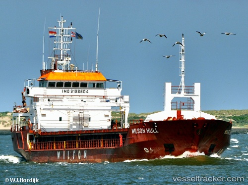
 SEHER S
Current Status
Where is the vessel?
SEHER S is currently in 22 nm S of ROQUETAS DE MAR, based on AIS data received less than 1h ago.
Latest AIS update:
Current position: 36.40040° N, 2.48982° W (22 nm S of ROQUETAS DE MAR)
Average speed (last 7 days): Loading…
Average speed (last 30 days): Loading…
Vessel profile: SEHER S is a General Cargo Ship with dimensions 90m x 15m.
This page combines live AIS, route history, probable destination signals, nearby traffic, and port activity for practical vessel monitoring.
The current position of vessel SEHER S is 36.40040 lat / -2.48982 lng. Updated: 2026-04-06 19:45:17 UTCNearest reference points:
- 37 nm S of Las Noras de Daza
- 26 nm S of El Alquian
- 27 nm SE of El Alquian
Currently sailing under the flag of St Vincent and Grenadines ![]()
SEHER S built in 2001 year
Deadweight:
4247 tDetails:
Live Vessel SEHER S Analytics (details, animations, etc.)
Recent AIS points (UTC):
2026-04-06 13:36:06 UTC · 36.56224, -1.24883 · SOG 9.5 kn · COG 257°2026-04-06 15:40:38 UTC · 36.50499, -1.66163 · SOG 9.7 kn · COG 261°
2026-04-06 17:58:08 UTC · 36.44753, -2.12480 · SOG 9.6 kn · COG 258°
2026-04-06 19:45:17 UTC · 36.40040, -2.48982 · SOG 10.3 kn · COG 261°