 vesseltracker.com
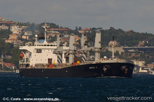
 Amber S
Current Status
Where is the vessel?
Amber S is currently in 15 nm NE of Donousa Kykladon, based on AIS data received less than 1h ago.
Latest AIS update:
Current position: 37.22086° N, 26.06256° E (15 nm NE of Donousa Kykladon)
Average speed (last 7 days): Loading…
Average speed (last 30 days): Loading…
Vessel profile: Amber S is a Crude Oil Tanker with dimensions 185m x 30m.
This page combines live AIS, route history, probable destination signals, nearby traffic, and port activity for practical vessel monitoring.
The current position of vessel Amber S is 37.22086 lat / 26.06256 lng. Updated: 2026-04-27 20:01:01 UTCNearest reference points:
- Near Aigiali Amorgou
- 18 nm SW of PATMOS
- Near PATMOS
Currently sailing under the flag of Liberia ![]()
Amber S built in 2000 year
Deadweight:
47282 tDetails:
Live Vessel Amber S Analytics (details, animations, etc.)
Recent AIS points (UTC):
2026-04-27 16:30:21 UTC · 37.71405, 25.85226 · SOG 9 kn · COG -1°2026-04-27 17:36:32 UTC · 37.54975, 25.87014 · SOG 9.1 kn · COG -1°
2026-04-27 19:38:51 UTC · 37.26940, 26.02989 · SOG 9.2 kn · COG -1°
2026-04-27 20:01:01 UTC · 37.22086, 26.06256 · SOG 8.7 kn · COG -1°