 vesseltracker.com
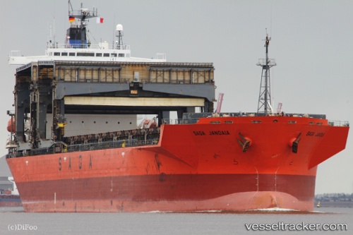
 SAGA JANDAIA
Current Status
Where is the vessel?
SAGA JANDAIA is currently in 91 nm E of Alcobaca, based on AIS data received about 1h ago.
Latest AIS update:
Current position: 16.99272° S, 37.70993° W (91 nm E of Alcobaca)
Average speed (last 7 days): Loading…
Average speed (last 30 days): Loading…
Vessel profile: SAGA JANDAIA is a General Cargo with dimensions m x m.
This page combines live AIS, route history, probable destination signals, nearby traffic, and port activity for practical vessel monitoring.
The current position of vessel SAGA JANDAIA is -16.99272 lat / -37.70993 lng. Updated: 2026-04-24 11:47:40 UTCNearest reference points:
- 169 nm E of Alcobaca
- 91 nm E of Conceicao da Barra
Currently sailing under the flag of Bahamas ![]()
Details:
Live Vessel SAGA JANDAIA Analytics (details, animations, etc.)
Recent AIS points (UTC):
2026-04-24 08:05:29 UTC · -16.33823, -37.37761 · SOG 11.2 kn · COG 202°2026-04-24 10:13:00 UTC · -16.70675, -37.56077 · SOG 11.6 kn · COG 202°
2026-04-24 10:37:10 UTC · -16.77576, -37.59597 · SOG 11.2 kn · COG 201°
2026-04-24 11:47:40 UTC · -16.99272, -37.70993 · SOG 12.9 kn · COG 208°