 vesseltracker.com
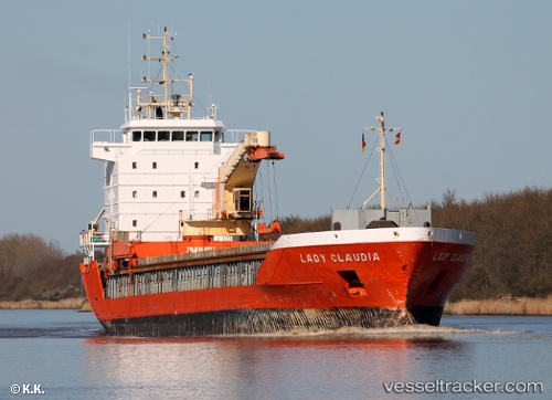
 CLAUDIA A
Current Status
Where is the vessel?
CLAUDIA A is currently in 17 nm SW of CASCAIS, based on AIS data received less than 1h ago.
Latest AIS update:
Current position: 38.47868° N, 9.66021° W (17 nm SW of CASCAIS)
Average speed (last 7 days): Loading…
Average speed (last 30 days): Loading…
Vessel profile: CLAUDIA A is a General Cargo with dimensions m x m.
This page combines live AIS, route history, probable destination signals, nearby traffic, and port activity for practical vessel monitoring.
The current position of vessel CLAUDIA A is 38.47868 lat / -9.66021 lng. Updated: 2026-05-15 11:49:48 UTCNearest reference points:
- Near CASCAIS
- 18 nm W of Colares
- Near Memória
Currently sailing under the flag of San Marino ![]()
Details:
Live Vessel CLAUDIA A Analytics (details, animations, etc.)
Recent AIS points (UTC):
2026-05-15 08:13:47 UTC · 38.89265, -10.07308 · SOG 10.4 kn · COG 200°2026-05-15 09:27:38 UTC · 38.67690, -10.07756 · SOG 10.6 kn · COG 166°
2026-05-15 10:05:47 UTC · 38.58090, -10.02667 · SOG 10.6 kn · COG 111°
2026-05-15 11:49:48 UTC · 38.47868, -9.66021 · SOG 10.7 kn · COG 105°