 vesseltracker.com
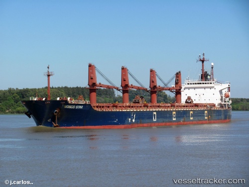
 MERCURY LUCKY
Current Status
Where is the vessel?
MERCURY LUCKY is currently in 14 nm W of SIRRI, based on AIS data received about 1d ago.
Latest AIS update:
Current position: 25.90333° N, 54.29167° E (14 nm W of SIRRI)
Average speed (last 7 days): Loading…
Average speed (last 30 days): Loading…
Vessel profile: MERCURY LUCKY is a Bulk Carrier with dimensions m x m.
This page combines live AIS, route history, probable destination signals, nearby traffic, and port activity for practical vessel monitoring.
The current position of vessel MERCURY LUCKY is 25.90333 lat / 54.29167 lng. Updated: 2026-04-22 20:22:38 UTCNearest reference points:
- 11 nm SW of Fateh Terminal
- 17 nm NW of Free Port
- 16 nm NW of Jebel Ali
Currently sailing under the flag of Guinea ![]()
Details:
Live Vessel MERCURY LUCKY Analytics (details, animations, etc.)
Recent AIS points (UTC):
2026-04-22 20:22:38 UTC · 25.90333, 54.29167 · SOG 0 kn · COG -1°2026-04-22 20:22:38 UTC · 25.90333, 54.29167 · SOG 0 kn · COG -1°
2026-04-22 20:22:38 UTC · 25.90333, 54.29167 · SOG 0 kn · COG -1°
2026-04-22 20:22:38 UTC · 25.90333, 54.29167 · SOG 0 kn · COG -1°