 vesseltracker.com
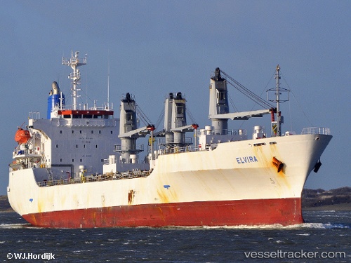
 ELVIRA
Current Status
Where is the vessel?
ELVIRA is currently in 136 nm W of Nouakchott, based on AIS data received less than 1h ago.
Latest AIS update:
Current position: 18.46063° N, 18.36882° W (136 nm W of Nouakchott)
Average speed (last 7 days): Loading…
Average speed (last 30 days): Loading…
Vessel profile: ELVIRA is a Reefer with dimensions m x m.
This page combines live AIS, route history, probable destination signals, nearby traffic, and port activity for practical vessel monitoring.
The current position of vessel ELVIRA is 18.46063 lat / -18.36882 lng. Updated: 2026-05-14 11:32:45 UTCNearest reference points:
- 119 nm W of Nouakchott
- 108 nm SW of Port Etienne
- 90 nm W of Nouakchott
Currently sailing under the flag of Barbados ![]()
Details:
Live Vessel ELVIRA Analytics (details, animations, etc.)
Recent AIS points (UTC):
2026-05-14 07:22:31 UTC · 17.48371, -18.43501 · SOG 14 kn · COG 15°2026-05-14 09:32:39 UTC · 17.99000, -18.38833 · SOG 14 kn · COG -1°
2026-05-14 10:36:19 UTC · 18.23897, -18.37948 · SOG 14.1 kn · COG 9°
2026-05-14 11:32:45 UTC · 18.46063, -18.36882 · SOG 14.5 kn · COG 9°