 vesseltracker.com
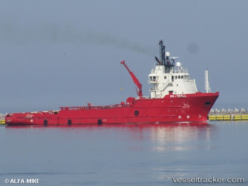
 LENGA
LENGA
Current Status
Where is the vessel?
LENGA is currently in Near Bahia Laredo, based on AIS data received about 1h ago.
Latest AIS update:
Current position: 52.95758° S, 70.81902° W (Near Bahia Laredo)
Average speed (last 7 days): Loading…
Average speed (last 30 days): Loading…
Vessel profile: LENGA is a Offshore Tug/Supply Ship with dimensions 16m x 74m.
This page combines live AIS, route history, probable destination signals, nearby traffic, and port activity for practical vessel monitoring.
The current position of vessel LENGA is -52.95758 lat / -70.81902 lng. Updated: 2026-05-13 17:59:17 UTCNearest reference points:
- 46 nm SW of Timaukel
- 13 nm NW of Rio Cullen
Currently sailing under the flag of Chile ![]()
LENGA built in 2000 year
Deadweight:
2881 tDetails:
Live Vessel LENGA Analytics (details, animations, etc.)
Recent AIS points (UTC):
2026-05-13 13:20:11 UTC · -52.95761, -70.81905 · SOG 0 kn · COG 314°2026-05-13 16:05:11 UTC · -52.95763, -70.81903 · SOG 0 kn · COG 314°
2026-05-13 16:12:43 UTC · -52.95667, -70.81833 · SOG 0 kn · COG -1°
2026-05-13 17:59:17 UTC · -52.95758, -70.81902 · SOG 0 kn · COG 313°