 vesseltracker.com
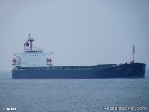
 EAST KING
Current Status
Where is the vessel?
EAST KING is currently in Near Gangneung, based on AIS data received about 22h ago.
Latest AIS update:
Current position: 37.74712° N, 128.99098° E (Near Gangneung)
Average speed (last 7 days): Loading…
Average speed (last 30 days): Loading…
Vessel profile: EAST KING is a Bulk Carrier with dimensions m x m.
This page combines live AIS, route history, probable destination signals, nearby traffic, and port activity for practical vessel monitoring.
The current position of vessel EAST KING is 37.74712 lat / 128.99098 lng. Updated: 2026-05-13 13:40:52 UTCNearest reference points:
- Near DONGHAE
- 16 nm N of Yeongyang-gun
- 23 nm SE of Yeongyang-gun
Currently sailing under the flag of Panama ![]()
Details:
Live Vessel EAST KING Analytics (details, animations, etc.)
Recent AIS points (UTC):
2026-05-13 13:40:52 UTC · 37.74712, 128.99098 · SOG 0 kn · COG 309°2026-05-13 13:40:52 UTC · 37.74712, 128.99098 · SOG 0 kn · COG 309°
2026-05-13 13:40:52 UTC · 37.74712, 128.99098 · SOG 0 kn · COG 309°
2026-05-13 13:40:52 UTC · 37.74712, 128.99098 · SOG 0 kn · COG 309°