 vesseltracker.com
 SANTARLI
Current Status
Where is the vessel?
SANTARLI is currently in Near GUISHAN, based on AIS data received about 1h ago.
Latest AIS update:
Current position: 22.08329° N, 113.88814° E (Near GUISHAN)
Average speed (last 7 days): Loading…
Average speed (last 30 days): Loading…
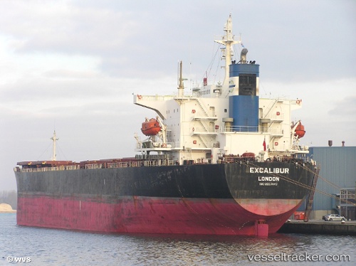
Vessel profile: SANTARLI is a Bulk Carrier with dimensions 32m x 225m.
This page combines live AIS, route history, probable destination signals, nearby traffic, and port activity for practical vessel monitoring.
The current position of vessel SANTARLI is 22.08329 lat / 113.88814 lng. Updated: 2026-05-16 10:29:38 UTCNearest reference points:
- Near WAILINGDING ISLAND
- Near GUISHAN
- Near Cheung Sha Wan
Currently sailing under the flag of Panama ![]()
SANTARLI built in 1999 year
Deadweight:
73976 tDetails:
Live Vessel SANTARLI Analytics (details, animations, etc.)
Recent AIS points (UTC):
2026-05-16 07:44:38 UTC · 22.08253, 113.88841 · SOG 0 kn · COG 73°2026-05-16 07:50:38 UTC · 22.08244, 113.88843 · SOG 0 kn · COG 68°
2026-05-16 10:14:41 UTC · 22.08333, 113.88814 · SOG 0.1 kn · COG 79°
2026-05-16 10:29:38 UTC · 22.08329, 113.88814 · SOG 0.1 kn · COG 85°