 vesseltracker.com
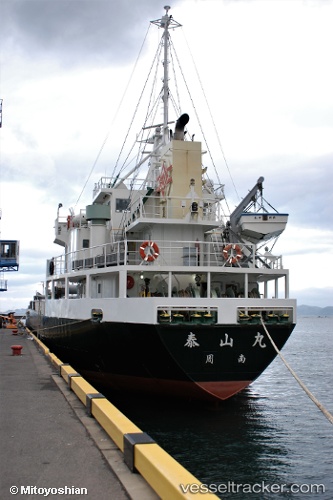
Taizanmaru
Current StatusWhere is the vessel?
Taizanmaru is currently in Near Kamaishi, based on AIS data received about 2h ago.
Latest AIS update:
Current position: 39.23080° N, 141.99779° E (Near Kamaishi)
Average speed (last 7 days): Loading…
Average speed (last 30 days): Loading…
Vessel profile: Taizanmaru is a General Cargo Ship with dimensions 12m x 76m.
This page combines live AIS, route history, probable destination signals, nearby traffic, and port activity for practical vessel monitoring.
The current position of vessel Taizanmaru is 39.23080 lat / 141.99779 lng. Updated: 2026-05-14 22:15:44 UTCNearest reference points:
- Near OFUNATO
- Near ONAGAWA
- Near ISHINOMAKI
Details:
Live Vessel Taizanmaru Analytics (details, animations, etc.)
Recent AIS points (UTC):
2026-05-14 19:57:35 UTC · 38.82555, 141.84251 · SOG 11.7 kn · COG 19°2026-05-14 21:29:55 UTC · 39.09673, 141.94655 · SOG 10.6 kn · COG 13°
2026-05-14 22:15:44 UTC · 39.23080, 141.99779 · SOG 11.6 kn · COG 15°
2026-05-14 22:15:44 UTC · 39.23080, 141.99779 · SOG 11.6 kn · COG 15°