 vesseltracker.com
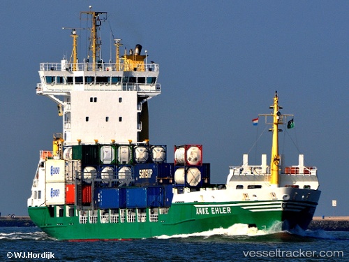
 Selen
Selen
Current Status
Where is the vessel?
Selen is currently in 50 nm N of AL SUWAIQ, based on AIS data received about 1d ago.
Latest AIS update:
Current position: 24.67477° N, 57.61274° E (50 nm N of AL SUWAIQ)
Average speed (last 7 days): Loading…
Average speed (last 30 days): Loading…
Vessel profile: Selen is a Container Ship with dimensions 18m x 118m.
This page combines live AIS, route history, probable destination signals, nearby traffic, and port activity for practical vessel monitoring.
The current position of vessel Selen is 24.67477 lat / 57.61274 lng. Updated: 2026-05-13 05:04:48 UTCNearest reference points:
- 42 nm SE of Offshore Fujairah
- 58 nm S of JASK
- 18 nm SE of SHINAS
Currently sailing under the flag of Saint Kitts and Nevis ![]()
Selen built in 2000 year
Deadweight:
6850 tDetails:
Live Vessel Selen Analytics (details, animations, etc.)
Recent AIS points (UTC):
2026-05-13 05:04:48 UTC · 24.67477, 57.61274 · SOG 12 kn · COG 286°2026-05-13 05:04:48 UTC · 24.67477, 57.61274 · SOG 12 kn · COG 286°
2026-05-13 05:04:48 UTC · 24.67477, 57.61274 · SOG 12 kn · COG 286°
2026-05-13 05:04:48 UTC · 24.67477, 57.61274 · SOG 12 kn · COG 286°