 vesseltracker.com
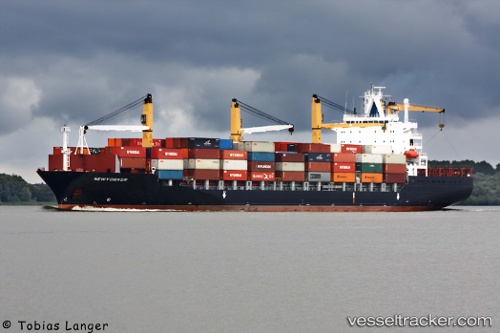
Newyorker
Current StatusWhere is the vessel?
Newyorker is currently in 23 nm NW of Sociedad Portuaria Regional Cartagena, based on AIS data received about 1h ago.
Latest AIS update:
Current position: 10.60318° N, 75.86557° W (23 nm NW of Sociedad Portuaria Regional Cartagena)
Average speed (last 7 days): Loading…
Average speed (last 30 days): Loading…
Vessel profile: Newyorker is a Container Ship with dimensions 30m x 207m.
This page combines live AIS, route history, probable destination signals, nearby traffic, and port activity for practical vessel monitoring.
The current position of vessel Newyorker is 10.60318 lat / -75.86557 lng. Updated: 2026-05-15 17:54:27 UTCNearest reference points:
- Near Sociedad Portuaria Regional Cartagena
- Near Contecar
- 62 nm NE of Playón Chico
Details:
Live Vessel Newyorker Analytics (details, animations, etc.)
Recent AIS points (UTC):
2026-05-15 13:49:49 UTC · 10.62173, -75.81687 · SOG 6.9 kn · COG 23°2026-05-15 16:05:48 UTC · 10.62119, -75.83512 · SOG 1 kn · COG 306°
2026-05-15 16:19:07 UTC · 10.61891, -75.83903 · SOG 1.3 kn · COG 316°
2026-05-15 17:54:27 UTC · 10.60318, -75.86557 · SOG 1.1 kn · COG 310°