 vesseltracker.com
 OPTIMA
Current Status
Where is the vessel?
OPTIMA is currently in 30 nm NW of Villy-le-Moutier, based on AIS data received about 2h ago.
Latest AIS update:
Current position: 47.68635° N, 5.51095° W (30 nm NW of Villy-le-Moutier)
Average speed (last 7 days): Loading…
Average speed (last 30 days): Loading…
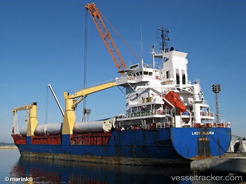
Vessel profile: OPTIMA is a General Cargo Ship with dimensions 108m x 18m.
This page combines live AIS, route history, probable destination signals, nearby traffic, and port activity for practical vessel monitoring.
The current position of vessel OPTIMA is 47.68635 lat / -5.51095 lng. Updated: 2026-05-01 19:54:38 UTCNearest reference points:
- 14 nm W of Villy-le-Moutier
- 46 nm W of SEIN
- 10 nm S of MOLENE
Currently sailing under the flag of Antigua and Barbuda ![]()
OPTIMA built in 2000 year
Deadweight:
8151 tDetails:
Live Vessel OPTIMA Analytics (details, animations, etc.)
Recent AIS points (UTC):
2026-05-01 16:08:17 UTC · 48.33894, -5.79887 · SOG 9.7 kn · COG 170°2026-05-01 18:26:18 UTC · 47.94996, -5.63751 · SOG 11.1 kn · COG 162°
2026-05-01 19:13:28 UTC · 47.80962, -5.56642 · SOG 11.1 kn · COG 162°
2026-05-01 19:54:38 UTC · 47.68635, -5.51095 · SOG 10.9 kn · COG 162°