 vesseltracker.com
 Fri Karmsund
Current Status
Where is the vessel?
Fri Karmsund is currently in Near Liverpool, based on AIS data received less than 1h ago.
Latest AIS update:
Current position: 53.44907° N, 3.01215° W (Near Liverpool)
Average speed (last 7 days): Loading…
Average speed (last 30 days): Loading…
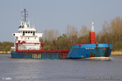
Vessel profile: Fri Karmsund is a Multi Purpose Carrier with dimensions 90m x 14m.
This page combines live AIS, route history, probable destination signals, nearby traffic, and port activity for practical vessel monitoring.
The current position of vessel Fri Karmsund is 53.44907 lat / -3.01215 lng. Updated: 2026-04-23 19:43:23 UTCNearest reference points:
- Near BIRKENHEAD
- Near ELLESMERE
- Near LIVERPOOL ANCH
Currently sailing under the flag of Cyprus ![]()
Fri Karmsund built in 1999 year
Deadweight:
4935 tDetails:
Live Vessel Fri Karmsund Analytics (details, animations, etc.)
Recent AIS points (UTC):
2026-04-23 16:01:24 UTC · 53.44913, -3.01208 · SOG 0 kn · COG 70°2026-04-23 16:37:25 UTC · 53.44915, -3.01213 · SOG 0 kn · COG 70°
2026-04-23 17:22:25 UTC · 53.44916, -3.01206 · SOG 0 kn · COG 69°
2026-04-23 19:43:23 UTC · 53.44907, -3.01215 · SOG 0 kn · COG 69°