 vesseltracker.com
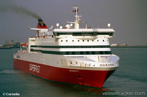
 A NEPITA
Current Status
Where is the vessel?
A NEPITA is currently in Near PERAMA, based on AIS data received less than 1h ago.
Latest AIS update:
Current position: 37.95851° N, 23.55562° E (Near PERAMA)
Average speed (last 7 days): Loading…
Average speed (last 30 days): Loading…
Vessel profile: A NEPITA is a Ro-Ro/Passenger Ship with dimensions m x m.
This page combines live AIS, route history, probable destination signals, nearby traffic, and port activity for practical vessel monitoring.
The current position of vessel A NEPITA is 37.95851 lat / 23.55562 lng. Updated: 2026-05-15 18:14:28 UTCNearest reference points:
- Near PERAMA
- Near Keratsínion
- Near Drapetzona
Currently sailing under the flag of Cyprus ![]()
Details:
Live Vessel A NEPITA Analytics (details, animations, etc.)
Recent AIS points (UTC):
2026-05-15 13:59:29 UTC · 37.95852, 23.55561 · SOG 0 kn · COG 196°2026-05-15 16:08:30 UTC · 37.95852, 23.55562 · SOG 0 kn · COG 196°
2026-05-15 17:05:30 UTC · 37.95853, 23.55562 · SOG 0 kn · COG 196°
2026-05-15 18:14:28 UTC · 37.95851, 23.55562 · SOG 0 kn · COG 196°