 vesseltracker.com
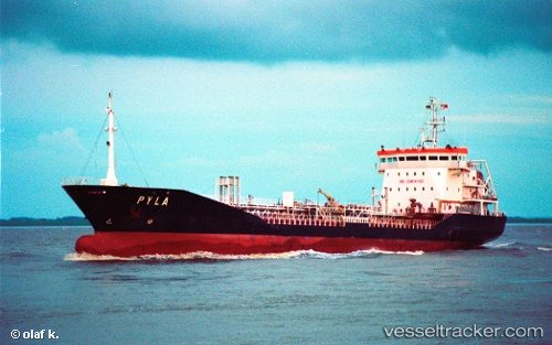
 CHEMTRANS
Current Status
Where is the vessel?
CHEMTRANS is currently in Near HAMRIYA, based on AIS data received less than 1h ago.
Latest AIS update:
Current position: 25.53011° N, 55.35718° E (Near HAMRIYA)
Average speed (last 7 days): Loading…
Average speed (last 30 days): Loading…
Vessel profile: CHEMTRANS is a Chemical Tanker with dimensions m x m.
This page combines live AIS, route history, probable destination signals, nearby traffic, and port activity for practical vessel monitoring.
The current position of vessel CHEMTRANS is 25.53011 lat / 55.35718 lng. Updated: 2026-04-27 07:45:44 UTCNearest reference points:
- Near AJMAN
- Near Sharjah
- Near Mina Khalid
Currently sailing under the flag of Palau ![]()
Details:
Live Vessel CHEMTRANS Analytics (details, animations, etc.)
Recent AIS points (UTC):
2026-04-27 04:00:49 UTC · 25.52954, 55.35713 · SOG 0.1 kn · COG -1°2026-04-27 04:12:50 UTC · 25.52963, 55.35714 · SOG 0.2 kn · COG -1°
2026-04-27 05:42:47 UTC · 25.52996, 55.35721 · SOG 0.1 kn · COG -1°
2026-04-27 07:45:44 UTC · 25.53011, 55.35718 · SOG 0.1 kn · COG -1°