 vesseltracker.com
 ONE HOPE
Current Status
Where is the vessel?
ONE HOPE is currently in 79 nm N of Dokdo, based on AIS data received about 1h ago.
Latest AIS update:
Current position: 38.53419° N, 132.09538° E (79 nm N of Dokdo)
Average speed (last 7 days): Loading…
Average speed (last 30 days): Loading…
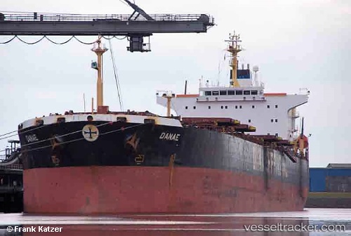
Vessel profile: ONE HOPE is a Bulk Carrier with dimensions 32m x 225m.
This page combines live AIS, route history, probable destination signals, nearby traffic, and port activity for practical vessel monitoring.
The current position of vessel ONE HOPE is 38.53419 lat / 132.09538 lng. Updated: 2026-05-15 18:02:57 UTCNearest reference points:
- 94 nm N of Dokdo
- 80 nm NE of Dokdo
- 82 nm NE of Dokdo
Currently sailing under the flag of Panama ![]()
ONE HOPE built in 2001 year
Deadweight:
75106 tDetails:
Live Vessel ONE HOPE Analytics (details, animations, etc.)
Recent AIS points (UTC):
2026-05-15 14:26:49 UTC · 37.86308, 131.56419 · SOG 13 kn · COG 31°2026-05-15 15:49:16 UTC · 38.11778, 131.76575 · SOG 13 kn · COG 32°
2026-05-15 16:58:36 UTC · 38.33155, 131.94154 · SOG 13.2 kn · COG 31°
2026-05-15 18:02:57 UTC · 38.53419, 132.09538 · SOG 13.1 kn · COG 31°